
Geography

The Geography Workbench
Custom Programming for Your Next Map Project. We are experts in leaflet, Mapbox, PHP, Javascript, WordPress, databases and much more to create interactive maps. Contact us for a quote for your project.

The Geography Store
We offer an array of maps, maps on printed on posters, tshirts, etc, games, and more more.

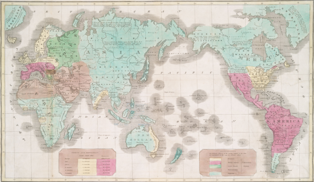
The Geography Store- Vintage World Maps
Learn more about vintage world maps.

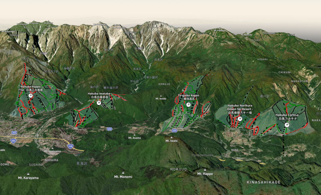
The Geography Workbench – Modern Day Maps
Interactive, Digital, Complex
Modern day maps include geographic information systems using digital elevation model with geo-space data capable of being rendered in 3D in a browser.
.
Featured Works

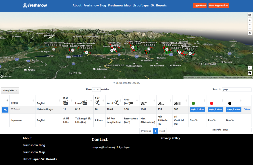
Freshsnow was created in WordPress. It uses PHP, Javascript, Datatables, NodeJS, MAPBOX and uses data from OpenStreetMaps.

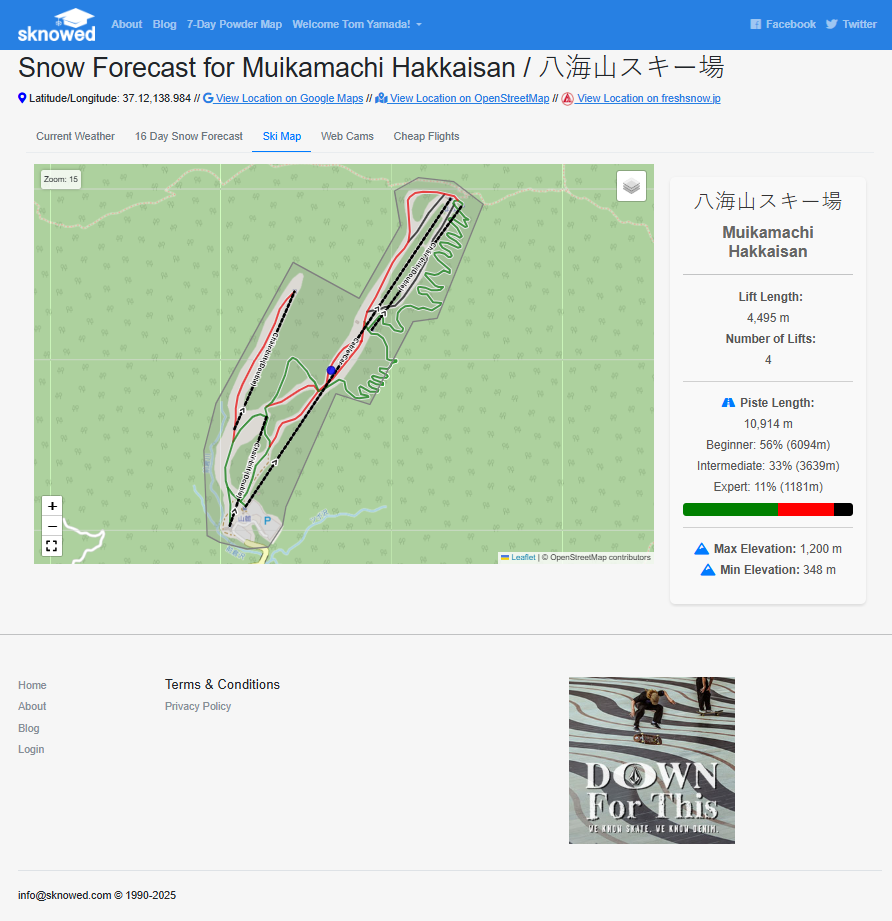
Sknowed.com was created in CodeIgniter 4.x It uses Leafletjs, PHP, Javascript, nodejs, etc. Nodejs was implemented to streamline the download of datafrom OpenStreetMaps, run various calculations (eg. elevation based on DEM data, intersecting lines, counting, length, etc). It comes with a backend for user management, administration and uses WordPress’ RESTapi for the blogging portion of the site. Data for weather is downloaded hourly and parsed before saving into a mysql db.

“Working with this team was a game-changer for our business. They not only redesigned our website but also enhanced our online presence dramatically. Highly recommend their services!”
JANET MORRIS

“The level of detail and creativity this agency brings to the table is phenomenal. They truly understood our brand and executed a website that reflects our mission perfectly. Exceptional work!”
WILLIE BROWN

“I’m thoroughly impressed by the professionalism and expertise of the entire team. They delivered on time and exceeded our expectations with a stunning, user-friendly site.”
SEAN FISHER
Let’s work together on your
next web project
Every project is a journey, and we are here to guide you every step of the way.