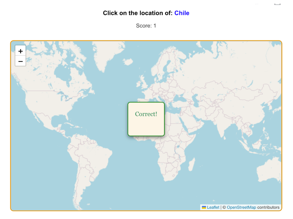
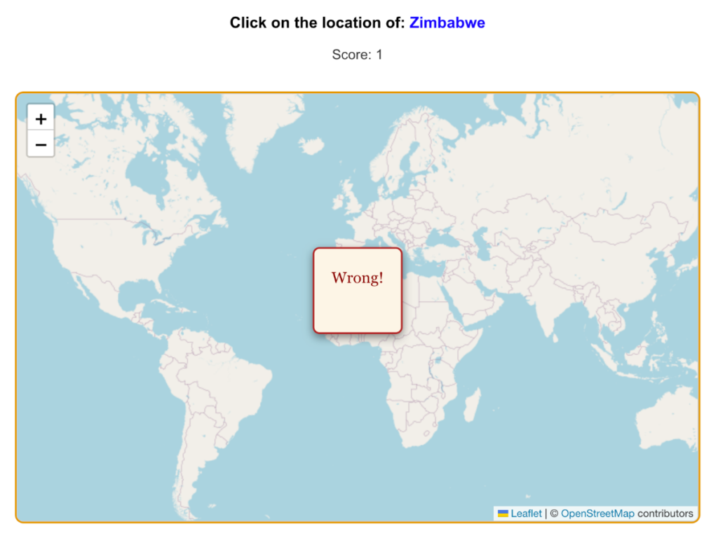
This page hosts our NeoGeoQuiz plugin for WordPress.
Description
NeoGeoQuiz is an educational plugin that uses OpenStreetMap to create an interactive geography quiz. Users are shown the name of a country and must click on its location on the map. Scores are tracked, and users can learn geography in a fun and engaging way.
Features
- Interactive map powered by OpenStreetMap
- Clickable country boundaries using GeoJSON
- Real-time feedback for correct and incorrect answers
- Scoring system to track progress
- Fully responsive and mobile-friendly design
Installation and Instructions
- Download the NeoGeoQuiz plugin from WordPress.org or our website
- Upload the plugin ZIP file via the WordPress admin dashboard (
Plugins > Add New > Upload Plugin) - Activate the plugin
- Add the [neogeoquiz] shortcode to any page or post
Support
If you have any questions, comments, suggestions, ideas for new features, please email us at info at geogrpahy.biz
Changelog
= 1.0 = Feb 16, 2025
- Initial release of NeoGeoQuiz.
- Added interactive map with country boundaries.
- Integrated scoring system and custom feedback dialogs.
F.A.Q.
= Where does the map data come from? =
The plugin uses OpenStreetMap for the map and data from naturalearthdata.com for country boundaries.
= Can I customize the plugin? =
Yes! Developers can extend the plugin functionality by modifying the JavaScript and CSS files provided.
= Does the plugin require an API key? =
No, NeoGeoQuiz relies on free and open-source data and does not require an API key.
License
This plugin is licensed under the GPLv2 or later. See the LICENSE file for more details.


