Skip to content
Home » GIS Basics

GIS Basics

Map Projection

What is a Map Projection?

A map projection is a method used to represent the curved surface of the Earth on a flat plane, such as a sheet of paper or a computer screen. Since the Earth is a three-dimensional object (a roughly spherical shape),… Read More »What is a Map Projection?
GIS Data Download

Where Can I Download GIS Data?

You can download GIS data from a variety of online sources, including government agencies, non-profit organizations, and platforms that provide open-access geospatial data. Here are some popular sources where you can download GIS data: 1. US Government (for U.S.-based data)… Read More »Where Can I Download GIS Data?

What is a GeoJSON

What is a GeoJSON?

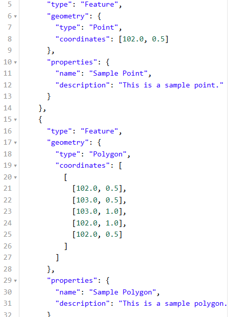
GeoJSON is a format for encoding geographic data structures using JavaScript Object Notation (JSON). It’s a widely used format for representing geographic features, such as points, lines, and polygons, along with their associated data. GeoJSON can describe a wide range… Read More »What is a GeoJSON?

Select your currency