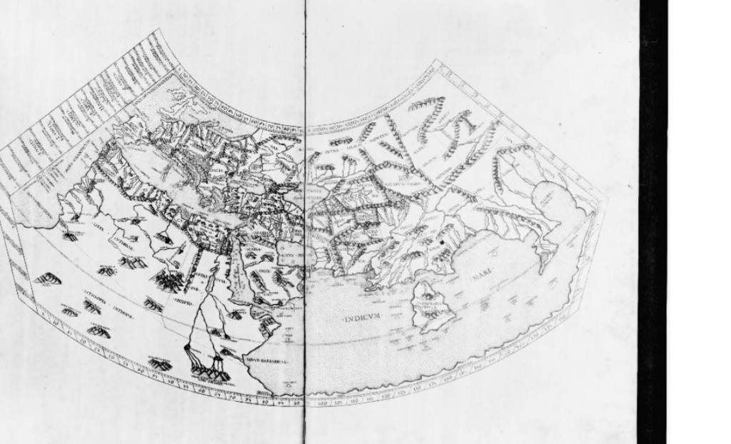
Ptolemy (Claudius Ptolemaeus) was a Greek-Roman geographer, astronomer, and mathematician who lived in Alexandria, Egypt, during the 2nd century AD (around 100–170 AD). He is best known for his influential work in geography, particularly his seminal book Geographia (often translated as The Geography), which compiled and expanded on earlier knowledge about the world, as well as for his astronomical model of the universe.
Ptolemy’s Geographia was a comprehensive guide to the geographical knowledge of the ancient world. The work contained maps of the known world, based on the latitudes and longitudes of various locations. These maps had a significant influence on cartography and geography for centuries. His work contained around 8,000 place names and gave detailed descriptions of the regions known to the Romans, including Europe, Asia, and Africa. He introduced the concept of longitude and latitude as a way to map the world with more accuracy, which formed the foundation of modern coordinate systems.
Ptolemy developed a system of map projections that influenced future cartography. His projections aimed to represent the spherical Earth on a flat map.He used a cylindrical projection for his maps, though this was not as accurate as later projections, it laid the groundwork for future cartographic techniques. While his maps weren’t always accurate by modern standards, they were a significant advancement in terms of organizing geographic knowledge.
Ptolemy’s work shaped how the ancient world viewed geography for many centuries, and his influence remains significant even in modern times.
